|
Banned
Join Date: Mar 2004
Location: Michigan
Posts: 54,053
|
Quote:
Originally posted by Brian Cameron
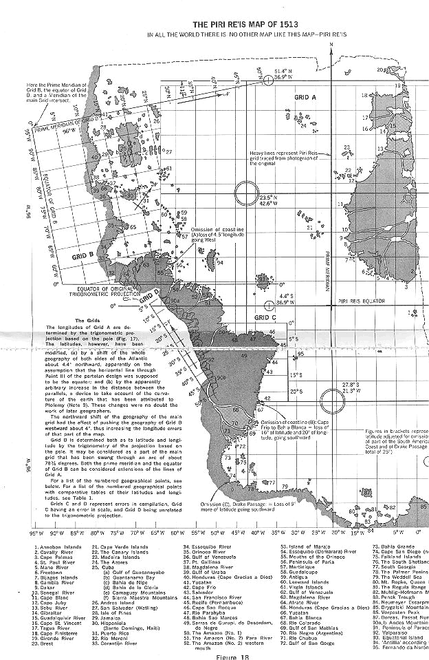
Piri Reis Map dating from the 1400's, claimed to accurately depict all of coastal north america as well as sub-ice antarctic continent.
|
http://home.hiwaay.net/~jalison/Reis.htm
Quote:
|
This map was drawn by Turkish Admiral Piri Reis in 1513. According to the legend on the surviving portion of the map, it was created using several older source maps. The big reddish island in the center of the map, between the mouth of the Amazon and the Coast of Africa, is right on the line of ancient sites, halfway between the Great Pyramid and Easter Island. There is no island in that location today.
|
The map is a recreation of several older maps? How old is that?
EDIT:
http://www.world-mysteries.com/sar_1.htm
Quote:
Introduction
In 1929, a group of historians found an amazing map drawn on a gazelle skin.
Research showed that it was a genuine document drawn in 1513 by Piri Reis, a famous admiral of the Turkish fleet in the sixteenth century.
His passion was cartography. His high rank within the Turkish navy allowed him to have a privileged access to the Imperial Library of Constantinople.
The Turkish admiral admits in a series of notes on the map that he compiled and copied the data from a large number of source maps, some of which dated back to the fourth century BC or earlier.
|
Last edited by kach22i; 04-14-2007 at 01:12 AM..
|
 04-14-2007, 01:09 AM
|
|