Quote:
Originally Posted by J P Stein

That topography looks similar to the scab lands in Eastern Washington.
Monster flooding drained Lake Missoula multiple times at the end of the last ice age as a result from a broken ice dam. An estimated 500 cubic miles of water draining out in a week or 2 will ruin your day.
Bretz's Flood by John Soennichsen is a pretty good read.
|
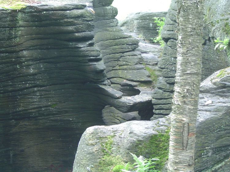
This is a much more localized feature- somewhat similar though to why the Mohawk River in upstate NY is where it is - the St. Lawrence was blocked by glaciation, causing the Great Lakes to drain through the Mohawk. Hence the Mohawk cutting through the Appalachian chain. With this being the only major water route cutting through the mountains, it was later used as a major water route to the west in the 1800's. The river breaking through the mountains is the reason the Erie Canal was able to be routed as it was.
If you are ever around Little Falls, NY, check out Moss Island near Erie Canal Lock 17. There are potholes big enough for a school bus to drive through caused by the rushing water through this break in the mountains. The rush of water caused harder boulders within the river to bore themselves down into the bedrock.